
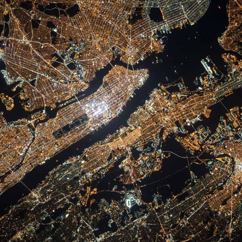
Aerial Mapping Expert Witnesses
Start Aerial Mapping Expert Search
Aerial mapping expert witness candidates typically have industry experience and backgrounds in surveying, aerial photography, and/or geographic information system technology (GIS).
Aerial photography has a been used for cartography since the 1920’s. Current technology for aerial imagery includes aerial photogrammetry, LiDAR, and drone technology. In addition to traditional mapping and land surveying, aerial mapping is used for environmental site analysis and even archeology.
Often, matters requiring aerial mapping expert witness services involve intellectual property, such as patent infringement litigation in court, inter partes review in the PTAB, copyright or trade secret disputes.
Litigation support by an aerial mapping expert could include analysis, reverse engineering, deposition, expert report, and expert witness testimony at a trial. In a high-profile case, or litigation involving a significant financial stake, a law firm may request a qualified expert with prior expert witness experience. In addition, clients may seek an industry expert in aerial photographs for pre-litigation consulting work. An expert witness needs to not only have expertise in the subject, an expert witness must possess the ability to explain evidence to a juror.
Cahn Litigation Services has completed numerous searches for an expert witness in the aerial mapping area, providing candidates for each case to the specifications provided by the attorney in charge. Whether it’s for a patent case or for pre-litigation reverse engineering work, Cahn Litigation Services has the experience required to turn the search around quickly and provide the right balance of expertise and testimony to hone in on the perfect expert for the job at hand.
Related Disciplines
Aerial Mapping Expert Witness - Representative Bios
Please Note: All Cahn Litigation expert witness searches are customized to attorneys' precise specifications and preferences. Attorneys are encouraged to discuss search parameters with a Cahn search specialist.
The below expert witness bios represent a small fraction of those Aerial Mapping experts known by Cahn Litigation Services. These bios are provided to give lawyers a sense of the Aerial Mapping landscape.
Expert Witness #222723
This expert holds a PhD in Electrical and Computer Engineering. This expert serves as CTO of highly successful technology consultancy specializing in technology IP and expert witness in such areas as telecommunications, wireless networks, and signal processing. This expert provides world-class expertise and experience working with leading law firms, expert witness services, patent analysis, prior art search, source code review, hardware review, patent infringement, patent invalidity, trade secret disputes, and related matters. This expert has many years and 30 cases of experience as an expert witness. This expert has been deposed 14 times, testified 4 times in Jury trial and 2 times in ITC trial, worked on Inter-Partes Review (IPR) and Ex Parte Reexamination petitions, and wrote numerous reports.
Specializing in Digital Signal Processing (DSP), Speech Coding and transmission, this expert has developed associated algorithms and software products, as well as hardware and software related services for the past 31 years. This expert is very familiar with most if not all speech coding techniques for various applications.
As a part of continuous self-education and research interests, which includes the evaluation of emerging standards and technologies, this expert has performed extensive research on the subject of location measurement (including triangulation) in wireless and cellular networks, including Uplink -Time Difference of Arrival (U-TDOA), Time of Arrival, Time Difference of Arrival, and Angle of Arrival (AOA) methods. This includes various DSP techniques for resolving ambiguity in signal detection, as well as closed-form solutions and the probabilistic estimation and recursive algorithms such as Least Mean Squares (LMS), Recursive Least Squares (RLS), and Kalman filtering.
This expert has performed extensive learning and research of the subject of GPS and location measurement (including triangulation), dynamic programming, recursive algorithms, computer graphics algorithms, numerous industry standards including telephony networks, traffic messaging, databases and web programming languages. This expert is highly familiar with 3GPP GPS and location measurement, protocols, channels, and LBS standards.
- This expert's experience and training have included substantial exposure to the field of Geographic Information Systems. For example, this expert worked for an army to develop improved navigation methods using topographical maps, aerial photos of geographic areas and three-dimensional derivations of aerial photos.- This expert developed an iterative algorithm, based on dynamic programming, for searching for the best route on a time grid, that was used to warp waveforms, as part of this project of implementing a time-warping speech recognition system. Each such route, or time-warping function, was associated with a cost function that was minimized through the search process yielding the optimal route or warping function.
Start Aerial Mapping Expert SearchExpert Witness #246862
This expert has been designing and programming advanced user interfaces for many years and has worked on a wide variety of user interface projects in the areas of air traffic control, military communications, unmanned aerial vehicles, missile defense systems, Homeland security systems, two way pager systems, mobile portable phones, facial recognition systems, web based ecommerce systems, Android and iOS applications for smartphones and tablets, IPV6 internet routers, gaming systems, multiple medical devices, and mobile big data collection and analysis systems.
With a Masters’ degree and a PhD in Human Factors focusing on Advanced User Interface Design, this expert is an avid software engineer and architect with extensive knowledge in C, C++, C#, Objective-C, and Java. This expert has designed many advanced systems that utilize GPS and other mapping and location-based technologies in the areas of:
Advanced air traffic control
Military tracking of soldiers, equipment and vehicles
Routing of wireless signals for Army vehicles based on location
Routing, planning, and surveillance of unmanned aerial vehicles
Terrorist Tracking application
Personal tracking applications for iOS and Android
Tracking of visitors at a theme park
This expert has designed and developed a GPS enabled Location Based Services application for iOS and Android. Further, this expert has developed advanced geographic information systems for a proprietary research and development project and developed location based Unmanned Air Vehicle routing, control, and tracking algorithms for a proprietary research and development program.
This expert has been retained approximately 85 times, deposed 29 times, testified at trial in both state and federal courts, and presented at a Markman hearing and to the USPTO. This expert has written approximately 70 expert reports and declarations. This expert has worked on a wide variety of patent litigation cases for both plaintiffs and defendants.
This expert has also worked on advanced missile defense systems, two-way pager systems, mobile portable phones, IPV6 internet routers, multiple medical devices, been involved with the design and implementation of portable handheld devices for many years and spent approximately 400 hours reviewing source code as an expert witness for a case. This expert can be very helpful in the areas of infringement/non-infringement and validity/invalidity, claim construction, source code review, writing declarations and expert reports, and expert testimony at deposition and at trial.
Start Aerial Mapping Expert SearchExpert Witness #260145
These consultants focus on geotechnical and data mapping to help geologists, hydrologists and others that work with the land and water. Data, maps, web mapping, modeling, and information graphics are at the heart of nearly every project and their GIS analysis, drafting, and cartography is a singular focus.
Start Aerial Mapping Expert SearchExpert Witness #219504
This expert is a Professor of Geography and a director at a spatial information research center. This expert holds Ph.D. and M.S. degrees in Environmental Remote Sensing. Specializing in agent-based models, spatial-temporal models, digital image analysis, emergency response and urban geographic systems, this expert conducts research in both remote sensing and geographic information systems and has published in range of journals including: the IEEE Journal of Geo-science and Remotes Sensing, the International Journal of Remote Sensing, and Photogrammetric Engineering and Remote Sensing. This expert played a major role in managing the design, development and implementation of the digital geographic base-map for a major U.S. city; the mapping was instrumental in enabling the city to respond to national crises.
Start Aerial Mapping Expert SearchExpert Witness #250652
This expert is an Associate at a University, and a Co-PI in the National Science Foundation funded National Center for Airborne Laser Mapping. This expert was formerly the Vice President of Engineering for a LIDAR remote sensing company. This expert has been active in the design, development and operation of kinematic remote sensing systems for many years. This expert regularly consults with a LiDAR unit used in almost all autonomous vehicle testing. This expert holds a B.Sc. and Ph.D. in Geomatics Engineering, and is a registered Professional Engineer.
Start Aerial Mapping Expert Search